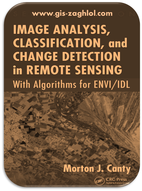
كتاب تحليلات تصنيف المرئيات الفضائية ورصد التغير في الاستشعار عن بعد Image analysis classification and change detection in remote sensing
استكمالا لسلسلة تطبيقات الاستشعار عن بعد Application Remote Sensing نقدم لكم في هذه المقالة تحميل كتاب تحليلات تصنيف المرئيات الفضائية ورصد التغير في الاستشعار عن بعد Image analysis classification and change detection in remote sensing with Algorithms for ENVI/IDL sensing، من تأليف Mario A. Gomarasca CLARK.
Introduction book Image analysis classification and change detection in remote sensing
This e-book is an encyclopedia for Image analysis classification and change detection in remote sensing , as it contains 9 main topics, these topics are divided into many sub-topics, all in 475 pages, and these some topics are covered in the book Image analysis classification and change detection in remote sensing with Algorithms for ENVI/IDL sensing:-
Images, Arrays, and Matrices
There are many satellite-based sensors currently in orbit that are used routinely for the observation of the Earth. Representative of these we describe briefly the ASTER system (Abrams et al., 1999); see Jensen (2005) for an overview of remote sensing platforms.
The Advanced Spaceborne Thermal Emission and Reflectance Radiometer (ASTER) was launched in December 1999 on the Terra spacecraft. It is being used to obtain detailed maps of land surface temperature, reflectance, and elevation, and consists of sensors to measure radiance in three spectral intervals:
- VNIR: Visible and near-infrared bands 1, 2, 3N, and 3B, in the spectral region between 0.52 and 0.86μm (four arrays of charge-coupled detectors [CCDs] in pushbroom scanning mode).
- SWIR: Short-wavelength infrared bands 4–9 in the region between 1.60 and 2.43μm (six cooled PtSi–Si Schottky barrier arrays, pushbroom scanning).
- TIR: Thermal infrared bands 10–14 covering a spectral range from 8.13 to 11.65μm (cooled HgCdTe detector arrays, whiskbroom scanning).
Change Detection
The basic premise in using remote sensing data for change detection is that changes in land cover must result in changes in radiance values [...] [which] must be large with respect to radiance changes from other factors.


تعليقات: 0
إرسال تعليق