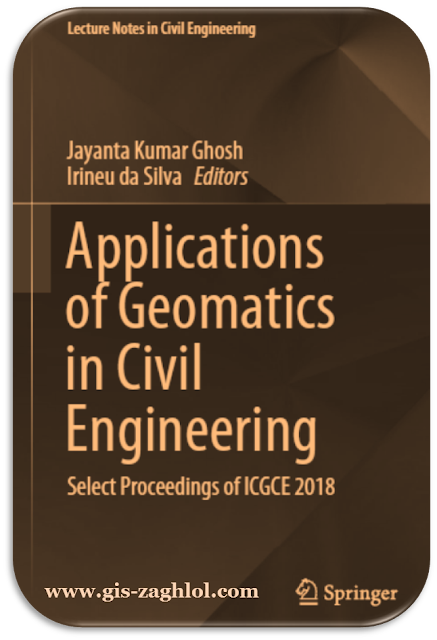
كتاب تطبيقات الجيوماتكس في سيفيل Applications of Geomatics in Civil Engineering
تحميل كتاب تطبيقات الجيوماتكس في سيفيل Applications of Geomatics in Civil Engineering ، استكمالا لسلسلة تعلم نظم المعلومات الجغرافية Learn GIS نقدم لكم في هذه المقالة كتاب كتاب تطبيقات الجيوماتكس في سيفيل Applications of Geomatics in Civil Engineering ، من تأليف Jayanta Kumar Ghosh.
Introduction book Applications of Geomatics in Civil Engineering
This e-book is an encyclopedia for Applications of Geomatics in Civil Engineering, as it contains 7 main topics, these topics are divided into many sub-topics, all in 650 pages, and these some topics are covered in the book Applications of Geomatics in Civil Engineering:-
Civil Engineering’s Use of Remote Sensing
Arguably, the most common forms of remote sensing in Civil Engineering are imagery and light detection and ranging (LiDAR) [also known as laser scanning]. While the growth of photogrammetry from as early as World War I is well documented, the evolution of LiDARin aCivil Engineering context is lesswell known. Thus, to help illustrate the evolution of that relationship, a brief historical overview of two application areas is provided herein. The first is in dike monitoring, and the second is in response to the threat of urban earthquakes.
Geomatics in Structural Engineering
Cultural heritage sites are to be preserved and taken good care. Up-to-date information plays a major role which can be done with proper documentation of the structure. Documentation of these cultural heritage sites are important to reconstruct in case of any damage occurs to the heritage site. Documentation plays a major role in extracting the geometry and monitoring its health. Accurate measurements and reconstruction is possible with the help of 3D modeling.
Remote sensing technique plays a major role in data acquisition when the study area is preserved like heritage site which needs less interaction. In this research, terrestrial laser scanning and close-range photogrammetry are used to document heritage structures. Terrestrial laser scanning is a very effective technology for generating a detailed 3D model of the structure. Dense point cloud is generated with the pre-specified parameters, all the points are sampled over the surface of the structure.
A particular location of a point is located on the basis of time taken by the lidar signal to hit the target and return back to the scanner. The point cloud generated can be used for 3D modeling and to extract any other valuable information. The scan parameters like horizontal and vertical scan area, horizontal and vertical resolutions are pre-entered before the data acquisition by the user. Similar kind of research has been carried out to extract information such as damages, structural analysis, deformities, etc., from the generated point cloud.
Geomatics in Geotechnical Engineering
The knowledge about surficial and subsurface conditions plays a vital role in the analysis and design of geotechnical structures and facilities. Due to the complex nature and diverse distribution of the soils along the subsurface, the assessment of its geotechnical properties is necessary in establishing geotechnical design parameters for design and construction of underground structures. In addition, it also helps in planning and execution of soil exploration programme. Local site conditions such as depth to bedrock, soil layer information, location ofwater table, and various geologic parameters are the factors influencing the amplification of earthquake ground motions which induce earthquake-related hazards.
Spatial variability of depth to weathered rock from the ground surface is important information for numerous applications in geotechnical engineering and urban geosciences. A depth to rock information at a particular site is very much needed in foundation design to provide the complete three-dimensional (3-D) subsurface information and seismic ground response analysis to estimate the damage potential of an earthquake. In the present study, the spatial variability of depth to weathered rock is evaluated in Chennai city using borehole data. The estimated depths to weathered rock have been cross-validated with a selected borehole data and the Multichannel Analysis of Surface Wave (MASW) test results.


تعليقات: 0
إرسال تعليق